|
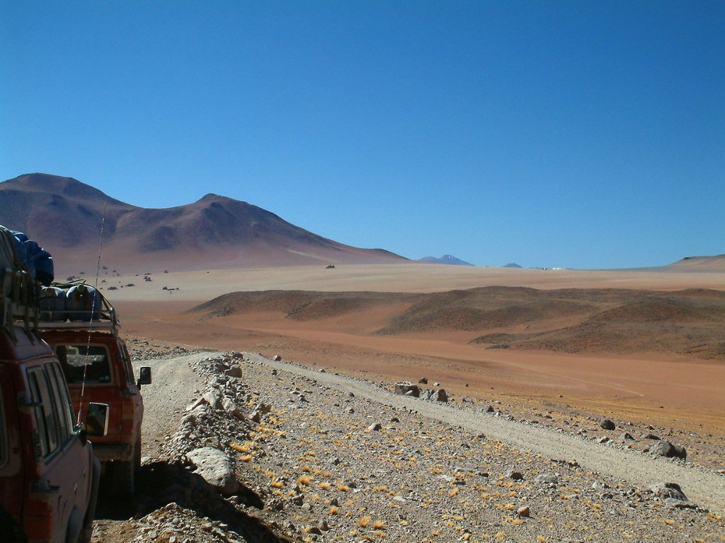 |
| Along the dry Río Blanco | |
| Latitude: S 22°39'16,78" | Longitude: W 67°43'48,06" | Altitude: 4642 metres | Location: Río Blanco | City: Reserva Eduardo Avarao | State/Province: Potosí | Country: Bolivia | Copyright: Ron Harkink | See map | |
| Total images: 34 | Help | |